Click on the hyperlink to access a .jpg file of any particular map of St. Louis. Note: some files are huge!
Remember when?
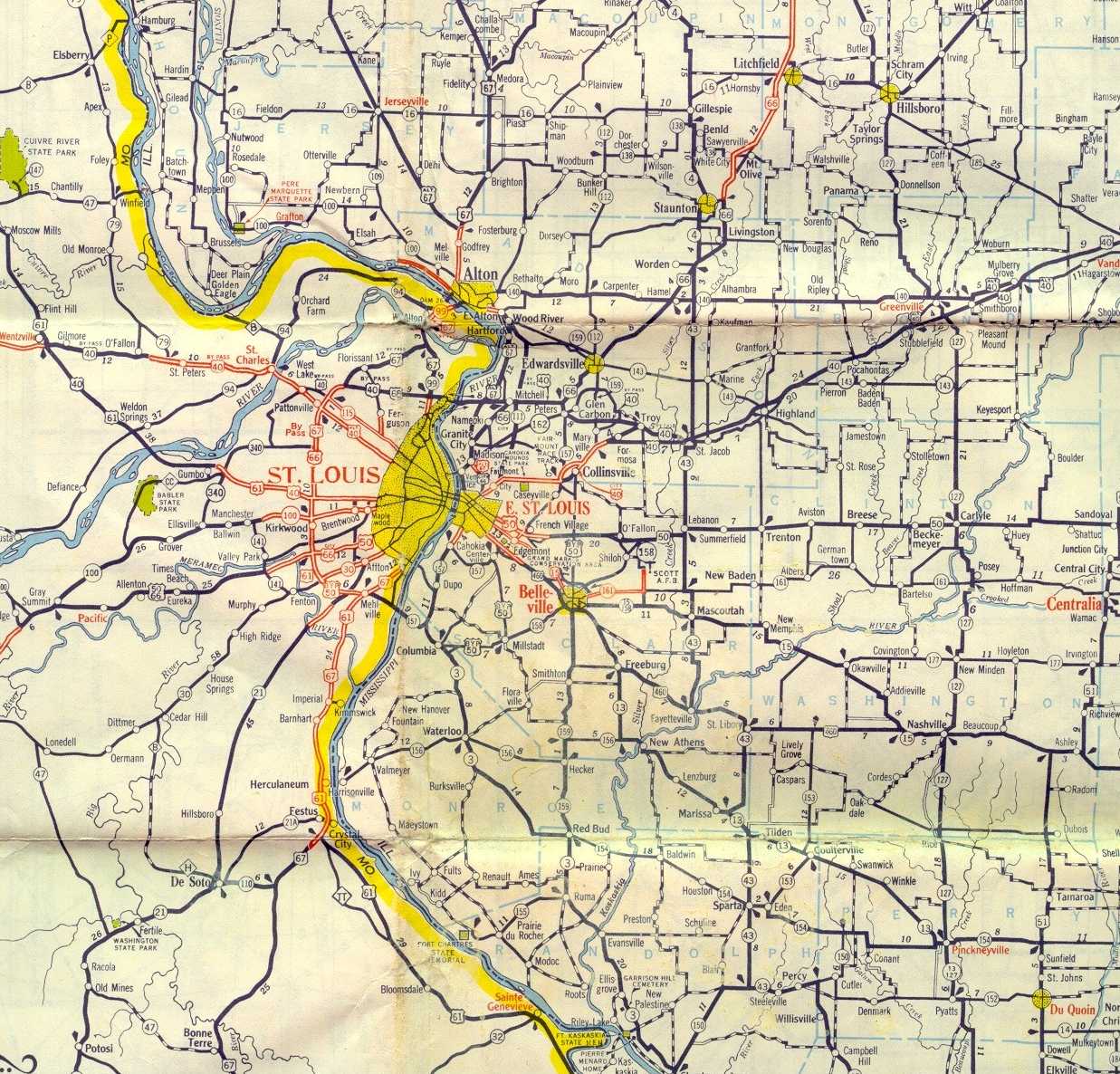
St. Louis area in 1955 from the AAA map of Illinois (272 KB) - new
St. Louis vicintity from the 1955 Illinois AAA map (173 KB) - new
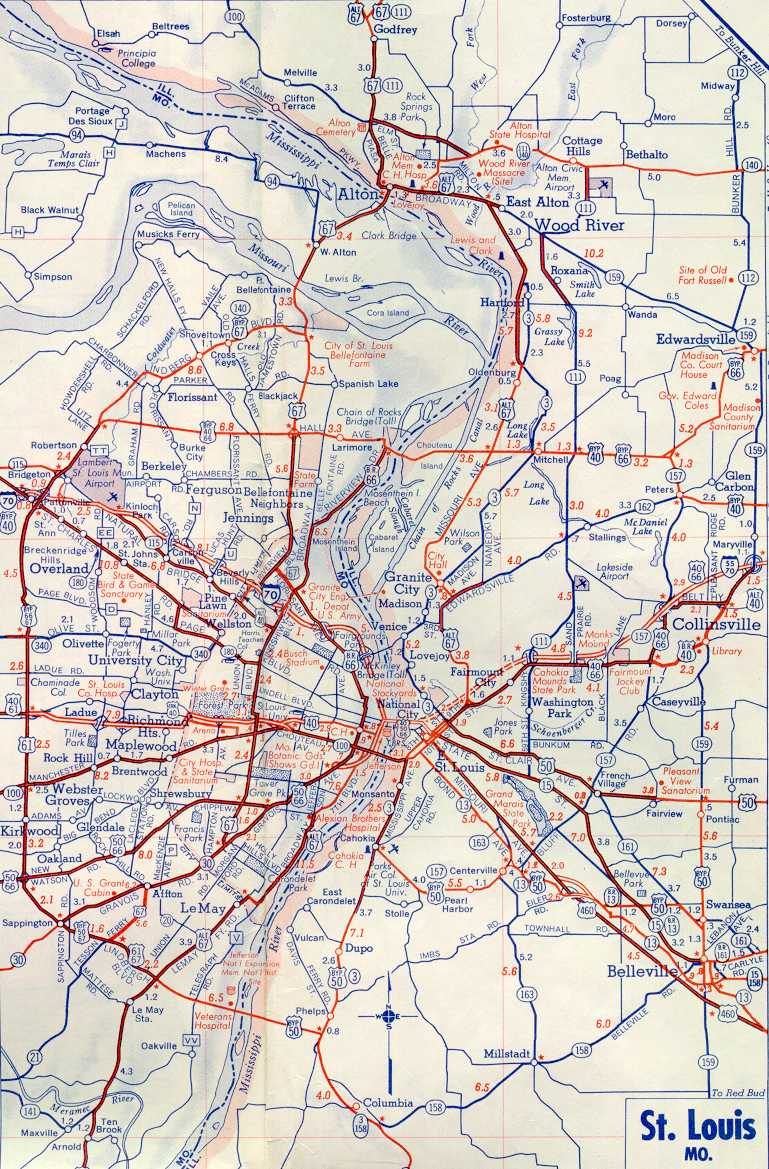
St. Louis vicinity from the 1967 Missouri AAA map (284 KB) - new
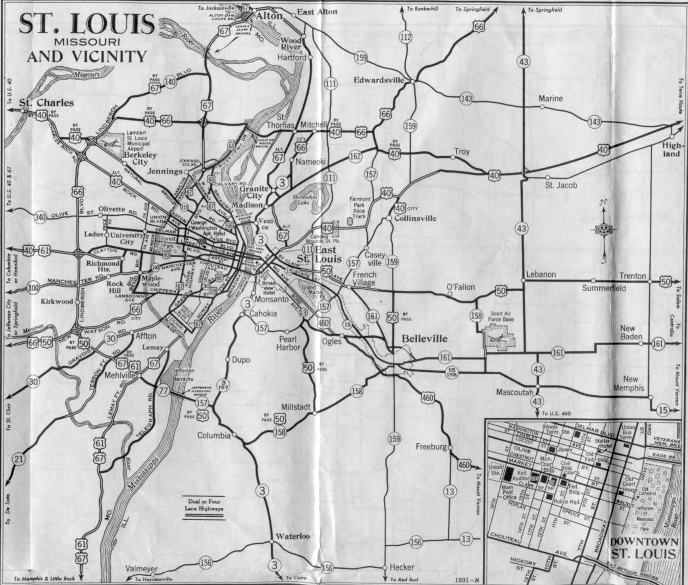
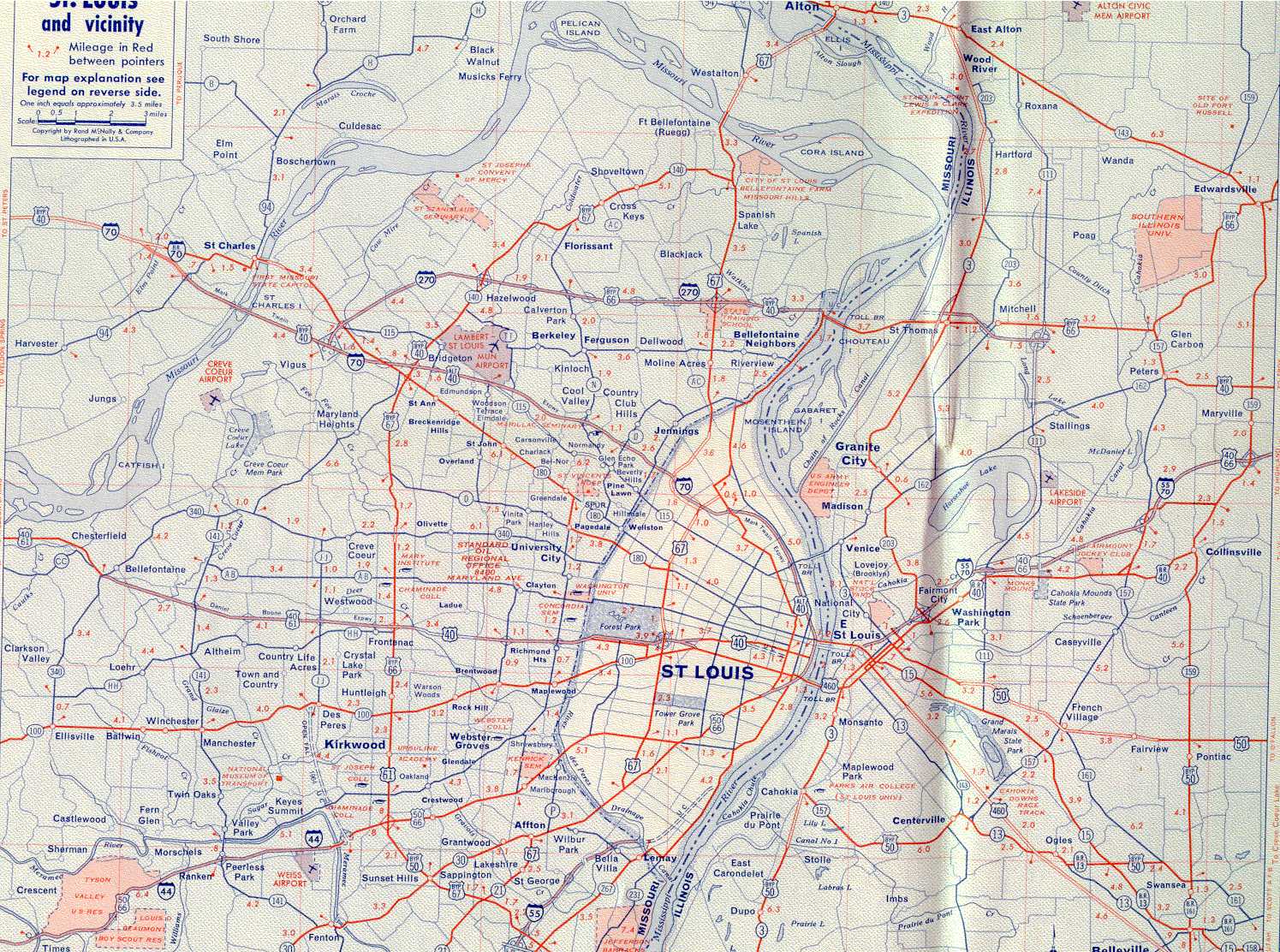
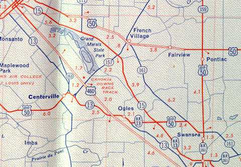
St. Louis area in 1961 (198 KB)
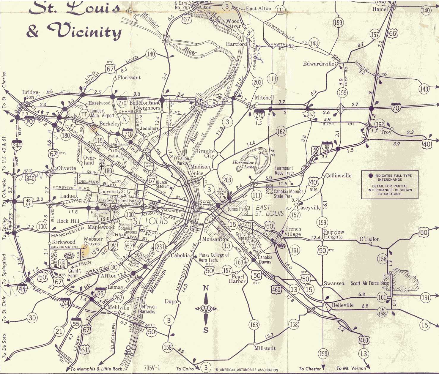
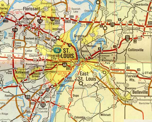
St. Louis area in 1964 (417 KB)
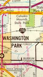
When part of I-270 was I-244 (30 KB)
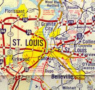
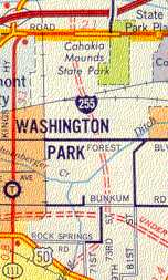
The first map other than Rand McNally to use "I-255" again (72 KB)
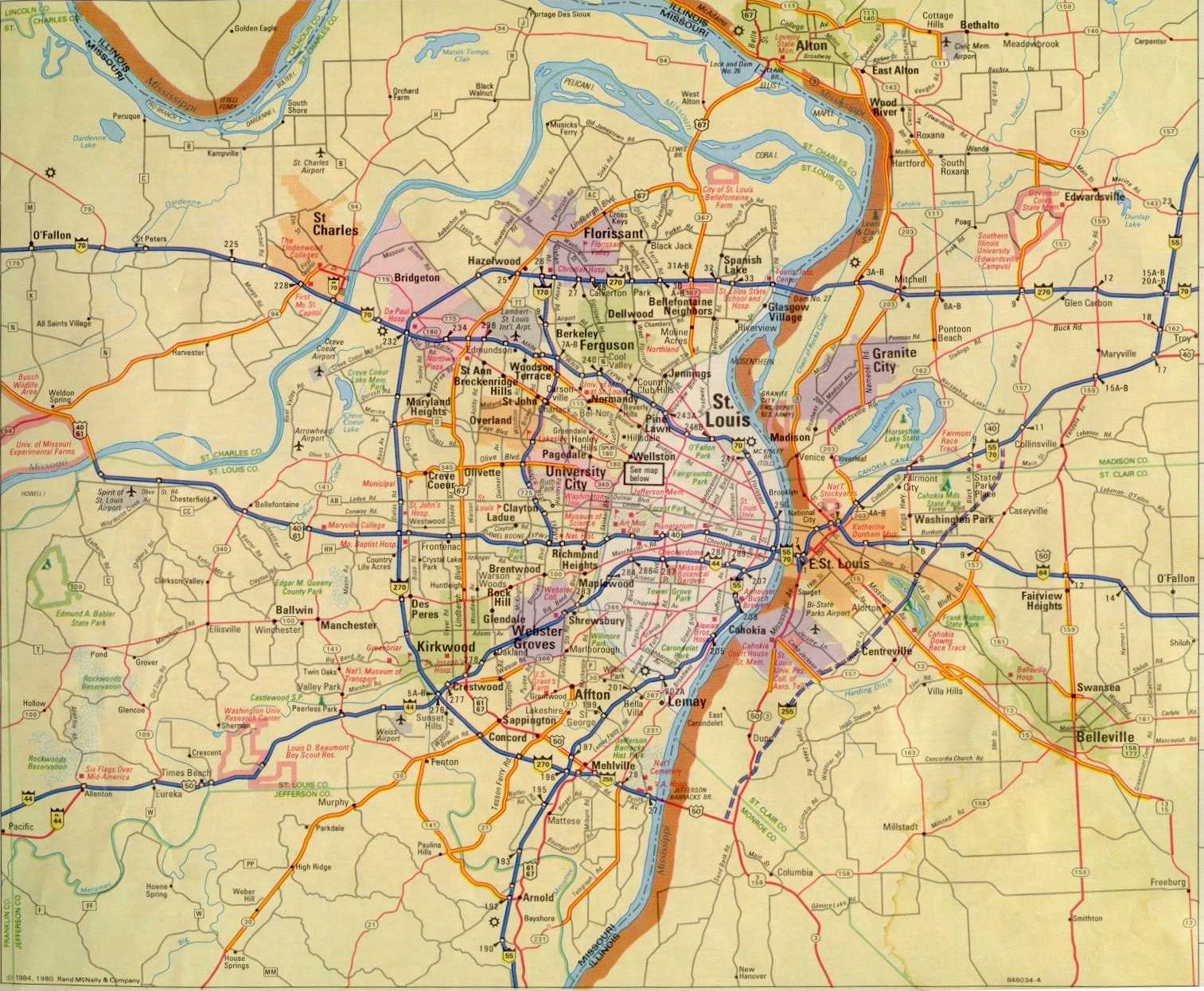
1984 Area Map of St. Louis from Rand McNally Road Atlas of United States/Canada/Mexico. (261 kb)
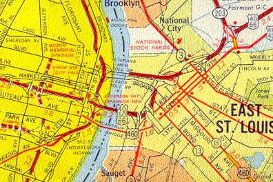
The Belleville/East St. Louis area in 1964 (40 KB)
Downtown St. Louis area in 1973 (33 KB)
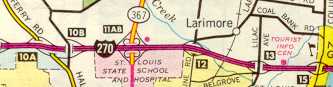
Some old exit numbering on I-270 in 1976 (8 KB)
Proposed I-255 in 1973 (12 KB)
Proposed I-255 in 1976 (9 KB)
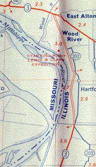
IL 3/IL 203 corridor in 1964 (17 KB)
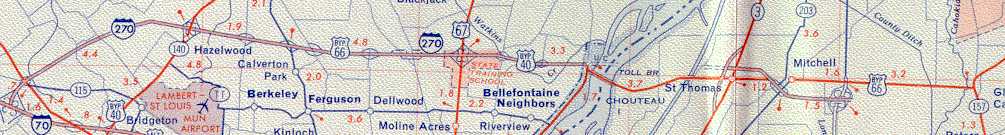
I-270 corridor in 1964 (37 KB)
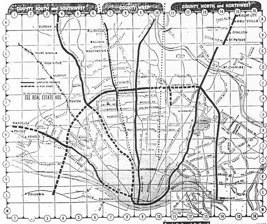
A Real Estate map in the St. Louis Post-Dispatch, December 1966. (132 KB)
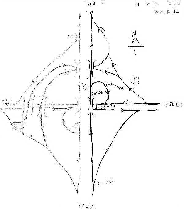
A map of the 55-70/255 interchange I drew. (29.3 KB) Note that I'm not a good artist and the map doesn't read well.
Map Goofs
1996 AAA Triptik Map of St. Louis area. (243 KB). It appears that this map hasn't been updated in ages.
Downtown St. Louis from the 1996 AAA St. Louis street map. (40.1 KB) Can anyone find the goof here? (Also note the map uses the official name to the Poplar St. Bridge.) The goof is that "Kiener Park" should be "Kiener Plaza".